Aqueous Earth Catalog
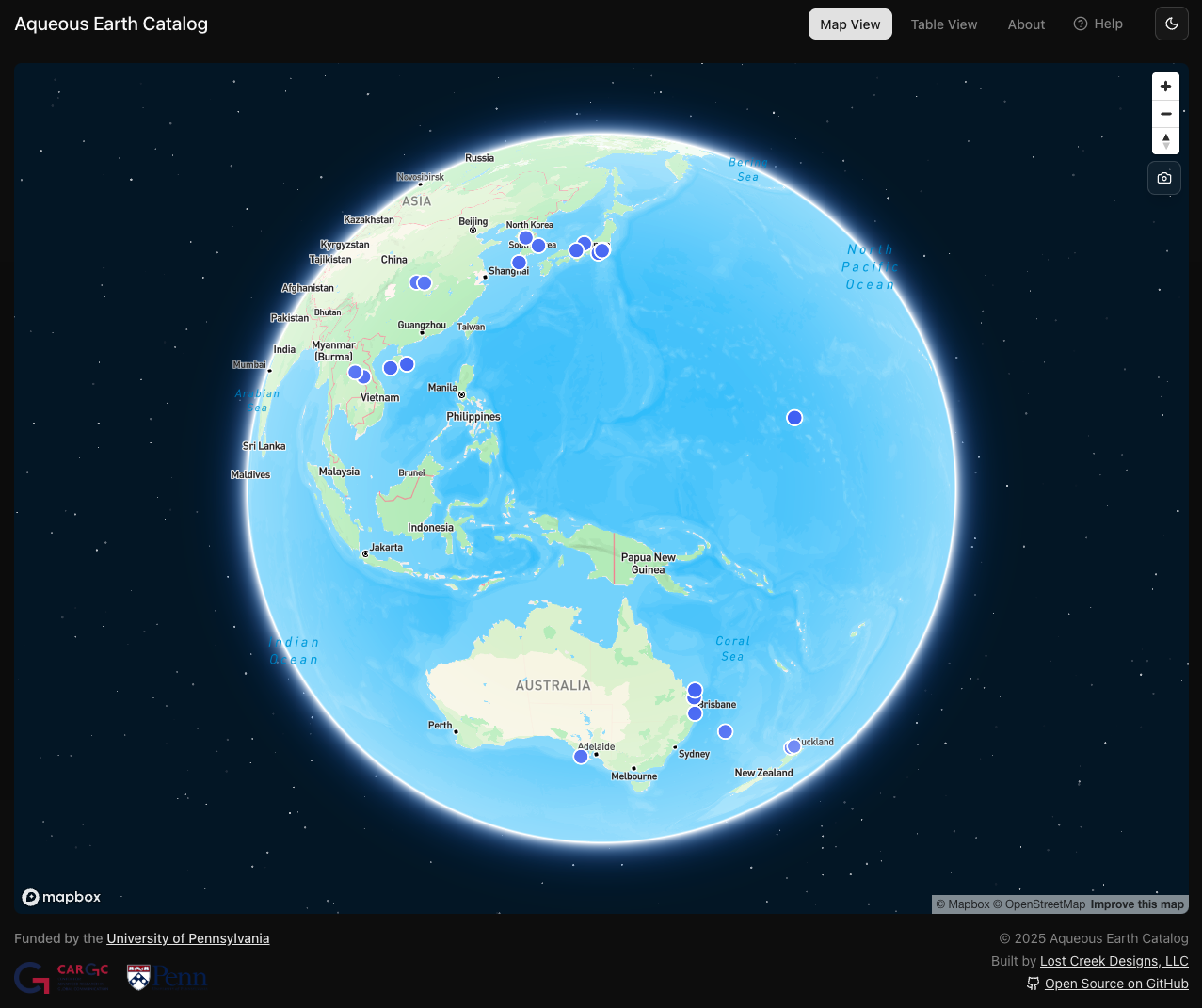
Aqueous Earth Catalog is an open source, interactive geospatial visualization tool that will accompany my book manuscript. The map is live at aqueous.earth!
Named after the U.S. magazine Whole Earth Catalog (1968-1972), whose mission was to inventory tools, methodologies and technologies, and otherwise useful resources in a comprehensive, global scale, the Aqueous Earth Catalog will encourage students and researchers to shift their understanding of the cultures as static and land bound to fluid, dynamic, and interconnected.
In its first and current iteration, Aqueous Earth Catalog is a cartographic database that situates films and videos studied in Aqueous Image on a world map. Plans for future builds include search and filter functions and a geofencing feature.
Please do not hesitate to reach out if:
you are a fellow researcher, student, web developer, or a specialist in geospatial analysis and want to collaborate, and/or
you would like to contribute films to be marked on the map. You can also fill out this form.
If you are interested in making a similar map with your own geospatial data, check out the Media Mapper project.